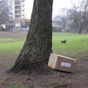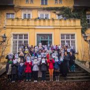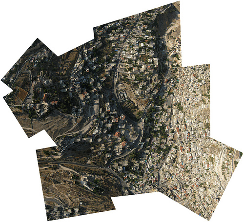
(Image: DIY aerial photography made with Palestinian children in Silwan, East Jerusalem).
In a piece on Public Lab, Hagit Keysar talks about DIY arial photography and community-based mapping, looking at 'the problem of design' and the obstacles this creates in terms of long-tail community engagement.
For more on Hagit's DIY mapping initiatives, watch episode 2 of our Exposing the Invisible film series: “From My Point of View”; read our extensive interview with her here, or read this article she wrote for our micro-magazine on map making in Jerusalem, in the 'Environment and Justice' issue, published in 2013.

